World Sunlight Map with Real Cloud Data and Accurate Seasons
 For a long time I have used an image similar to this one as the background on my phone. The image accurately represents the current cloud formations and sunlight regions on the planet. I came up with the idea from the following page: http://www.die.net/earth/. There is a good explanation on how to do this at http://www.die.net/earth/how.html, so I won’t repeat it here.
If you want to purchase an expensive wall hanging version of this map amazon will sell you one for $3000+, Boardroom Sunlight Map. Although it seems to me that you could purchase a Flat Screen TV and a Raspberry Pi and save yourself $3000, but hey, that is just me.
For a few years, I have used a Tasker profile on my Android phone to download a copy of this image once an hour. Tasker then updated the background on my phone. I find the image to be both beautiful and at least marginally functional. Plus I enjoy the nerdiness of it.
A few months back I switched to a Nexus 4 and discovered that the image available from die.net was lower resolution that my phone. This gave my the impetus to “roll my own” customized version.
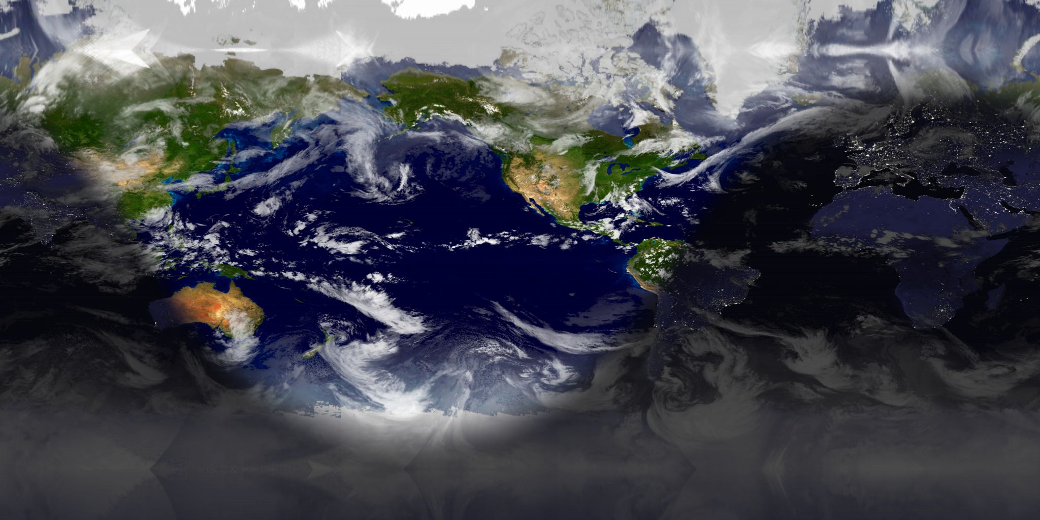
I doing so I discovered the beautiful series of Blue Marble images that NASA has made available. The The Blue Marble: Land Surface, Ocean Color and Sea Ice image was by far my favorite, but I noticed that NASA has since added monthly images that more accurately represent the snow pack and foliage for each month of the year. Unfortunately, these images seem darker, and less vibrant than my favorite image. Specifically, the greens and browns of the land masses looked very dull. Additionally, the ocean was much more black and devoid of any character.
Luckily NASA aligns the images very precisely. I first downloaded each monthly image and tweaked it in darktable. I increased the exposure value to make them brighter, and increased the color saturation of the greens, browns and oranges. The resulting images were much more vibrant. Then to fix the ocean, I simply placed my favorite image into Gimp and overlayed the new images with a mask for the ocean over them. The results were spectacular.
Then I simply added 12 different config files for xplanet and made 12 different cron jobs depending on the month. Now I have my own custom World Sunlight Map with more accurate seasonal representation of the land mass.